
Rockville Centre Previous Residents Sources
The best route backward uses an evidence chain instead of one broad name search. The Nassau Land Records Viewer supplies the current parcel identity and roll context. Nassau GIS supplies geometry and historic layers. The Nassau County Clerk holds recorded land instruments and maps. The library and Historical Society supply directories, newspapers, local memory, and house-history material. None alone establishes every past household. Together, they let a researcher say what a dated source shows about one Rockville Centre address.
| Source | Years it covers or represents | Where held | What it can show |
|---|---|---|---|
| NY Heritage/RVC historic maps | 1906 example; collection extent of seven | NY Heritage and RVC Public Library resources | Older streets, lots, map-grid sheets, and landmarks |
| Nassau historic GIS layers | 1926 and 1950 | Nassau GIS map viewer | County map context and changes in parcels or roads |
| RVC telephone directories | 1923-24, 1938, 1946-57 with gaps; later selected holdings | RVC Public Library and NY Heritage | Dated names, phones, addresses, and street listings |
| Nassau land registry | Back to 1899; online images displayed from 1994 onward | Nassau County Clerk | Recorded instruments, named parties, legal descriptions, and map trail |
| RVC Historical Society house histories | Item-specific dates | Society collection and website | Structure, subdivision, architectural, and local-history leads |
| LRV assessment rolls | Multiple recent roll years | Nassau Land Records Viewer | Parcel description, tax context, sales where shown, and SBL |
For the oldest Rockville Centre question, start with the 1906 map and a current parcel cross-check. For a recorded transfer, start with the SBL and the Clerk. For a past household association, begin with a documented directory edition. The end product should identify the source, its date, and its limit rather than present an unbroken list of former occupants.
Rockville Centre Parcel Records Key
Use the Nassau Section, Block, and Lot, known as an SBL, before relying on a guessed name. The Nassau Land Records Viewer accepts house number, street name, town, and ZIP, or a Section, Block, and Lot. Its guidance says to omit directional prefixes and road-type suffixes when searching a street name. Save the exact normalized query because North Village Avenue, N Village Avenue, and an abbreviated form may behave differently.
On a returned Rockville Centre parcel card, record the roll year, Village and Town fields, property class, land category, description, deed liber or page reference, recent-sales rows, and district information. A tax card is an administrative record. Its values, roll dates, and mailing data are not proof that a named party lived at the physical address. The mapping step is still useful because a stable parcel key keeps later map and instrument searches tied to the same place.
- SBL
- Section, Block, and Lot, the county's parcel identifier for locating the correct land record.
- Situs address
- The physical parcel location. It can differ from a separate mailing address on an administrative record.
- Legal description
- The recorded land description that helps connect an older deed or map when a street address changes.
Note: Save the roll year with the SBL so a later reader can tell which parcel view was consulted.
Rockville Centre Historic Map Records
Historic maps are the bridge when a Rockville Centre address has changed shape, a lot has been split, or a street name appears in an older form. The 1906 Lower Rockville Centre map is arranged on a row-and-column grid, including sheet identifiers such as L_1_A. Record the sheet, map date, visible cross street, railroad, park, or adjacent lot. Then compare that context with the current SBL and the county's 1926 and 1950 GIS layers.
The NY Heritage Rockville Centre historic-map collection provides the described local map resource.
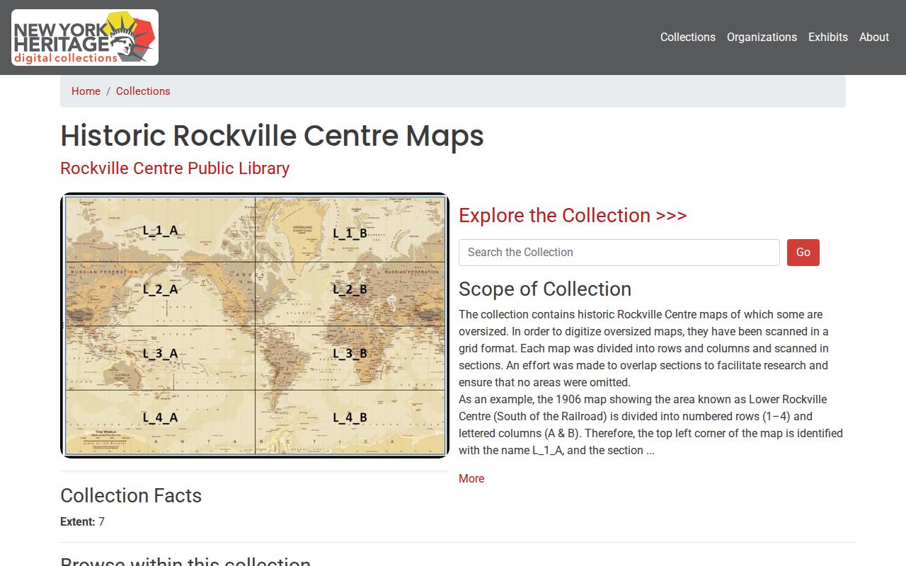
The collection is a source for street and lot context, not a current-person record. A map label can associate a name or subdivision with a place at the map's date. It does not establish that a person occupied the place throughout a period or that a later parcel has the same boundaries.
The Rockville Centre railroad is a useful orientation feature. It arrived in 1867, and later downtown elevation and parking fields altered physical reference points in address descriptions. A saved map layer and visible landmark make a comparison more reproducible than an unsupported statement that two lots simply look alike.
Rockville Centre Deed Records Trail
A Rockville Centre deed chain identifies recorded parties, not automatically past residents. Begin with the current parcel card and then use the Nassau County Clerk Official Land Search by SBL or address where possible. The registry reaches back to 1899. The portal displays online images from February 22, 1994 forward, with earlier images added periodically. Earlier index books, property cards, map resources, and an office request may be needed when the image is not online.
- Record the present SBL, parcel description, roll year, and any deed reference from LRV.
- Search the Clerk's land index by SBL or address and save the exact query, result row, instrument type, and recording date.
- Read the grantee and grantor roles, legal description, liber or document number, and any map reference before treating a result as part of the parcel chain.
- Search the earlier recorded party in the appropriate role and repeat only when the legal description and parcel information agree.
- For an older gap, ask the Clerk for the available index, map, or archived route rather than assuming a missing online image means no record exists.
- Grantor
- The party transferring an interest in a recorded instrument.
- Grantee
- The party receiving an interest in that recorded instrument.
- Chain of title
- A sequence of recorded transfers tied together by the land description, dates, and party roles.
The Clerk's search is free. For a Rockville Centre instrument, research records list image downloads at $0.65 a page, and a downloaded image is not the same thing as a certified copy from the Clerk. Save the certification status and page count before paying for an image.
Rockville Centre Instrument Record Limits
Recorded parties may include trustees, lenders, estate representatives, corporations, or a spouse signing a release. A transfer may be historically important without showing who used the address day to day. Use phrases such as “the deed names,” “the instrument records,” or “the map labels.” Reserve “listed at the address” for a dated directory or similar source that actually contains the address association.
Keep a compact inventory for every Rockville Centre instrument: source URL and date, search mode, exact query, result number, instrument type, execution and recording dates when shown, party roles, SBL or legal description, liber or page, image availability, and the follow-up route. That list exposes a broken link in the chain instead of filling it with an inference.
Rockville Centre House History Records
The Rockville Centre Historical Society adds local context that a Rockville Centre parcel card cannot provide. Its materials include house histories, maps, subdivision plans, photographs, sea-captain and houses-of-worship themes, and RVC Then and Now content. A narrative can reveal a structure change or former lot pattern that suggests what to search in the Clerk's map index. It should still be paired with the item date and, when necessary, a recorded map or instrument.
The Rockville Centre Historical Society collections provide the published starting point for those house-history leads.
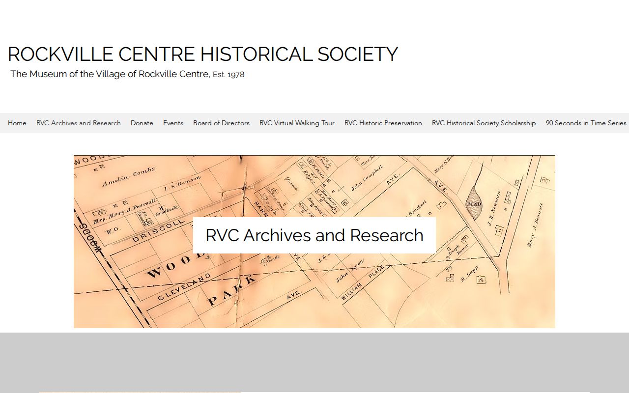
The Society's 141 South Park Avenue example shows why a single address can have several historical layers: a c.1906 structure, a Riverside Park setting, a 1977 rear-lot subdivision, and a later second home. It is a collection lead. A legal claim about the parcel still needs a direct source check.
That kind of Rockville Centre story belongs beside dated evidence, not instead of it. Search the historic map, then compare the current SBL, the Clerk's map or instrument index, and a relevant directory or newspaper entry. The result may be a well-supported property history even when no source identifies every former household.
Rockville Centre Directory Record Years
Directories give the household layer that a deed chain lacks. The Rockville Centre library holdings include 1923-24, 1938, and 1946-57 with gaps, plus selected later editions. Search each documented edition by street or surname, and record “listed” or “not listed,” the date, phone or address, publication type, and page. A business or street directory may arrange the same information differently from an alphabetical telephone book.
Pair each surviving directory with the public census period that fits the Rockville Centre question, remembering that the latest broadly public federal decennial census is 1950. Census place names and boundaries can change. Use the geography and year shown on the actual schedule. An older name or a directory gap should prompt a new search term, not a claim that the household never existed.
- Choose one documented directory edition and copy the exact listing or absence note.
- Check the next available edition, preserving its publication type and any gap between volumes.
- Compare the dated address with a historic map sheet and a census schedule for the period.
- Search a local newspaper by surname, street, and organization, then verify the page image behind OCR.
- Describe the outcome as a dated listing, map label, or recorded party rather than an unbroken residency claim.
The documented editions themselves are detailed on the Rockville Centre directory book. This backward trail uses them as one evidence class among several.
Rockville Centre Address Record Requests
Some Rockville Centre address records are not searchable online. Building permits, certificates, completion material, and code files are held through the Village Building Department and may require a narrow request. Ask for a specific address, record type, and approximate date rather than a broad request for names. A focused request can establish a construction or alteration event without collecting unrelated personal information.
New York FOIL, Public Officers Law Article 6, generally requires an agency to grant, deny, or acknowledge a request within five business days. The Rockville Centre policy identifies the Village Attorney as Records Access Officer, provides inspection during normal Village hours, and lists $0.25 copies up to roughly letter or legal size, with actual cost for larger material. The RVC online FOIL form offers inspection or copy choices and record-description fields.
A denial can be appealed within 30 days under the Rockville Centre policy, with an appeal decision due within 10 business days. Describe the record sought, not a person-finding goal. That makes the request easier to route and respects privacy, safety, and statutory limits.
Rockville Centre Address Records Timeline
A clear Rockville Centre past-resident result is a dated chain, not a collapsed narrative. Keep each date with its own source and do not let a modern roll value stand in for an old deed or directory. The following sequence is a workable model when the sources align.
| Time slice | Careful statement |
|---|---|
| 1906 | A historic map sheet shows a lot, street, or nearby landmark. |
| 1926 or 1950 | A Nassau historic GIS layer shows later county map context. |
| Documented directory year | A local volume lists a name, phone, or address if an interior page supports it. |
| Recorded instrument date | The Clerk index names parties and identifies an instrument tied to the parcel. |
| Current roll year | LRV identifies the resulting parcel and its administrative record at that date. |
The Rockville Centre chain may have gaps. Label them. A small missing link is better than a confident story that treats a historical association as proof of continuous residence.
Rockville Centre Previous Residents Evidence
Use source-specific language throughout a Rockville Centre past-address search. “The 1938 directory lists” says exactly what a directory can show. “The deed names” identifies a recorded party without adding an occupancy claim. “The map labels” describes geographic evidence. “The permit identifies” can describe a construction record. This discipline matters when an old structure, lot, street name, or family association changes across decades.
For a difficult Rockville Centre address, retain a simple research log: the normalized address, SBL, map sheet or layer, directory edition, newspaper page, instrument reference, source date, access date, and unresolved street-name variant. That log makes the past-address trail repeatable and reveals whether another visit to the library, Historical Society, Clerk, or Village records office is needed.
Note: State each observation at the source's date and leave any unproven interval clearly open.